
5 · Page 34 of 236
The Waters of Africa
A regional map of risk
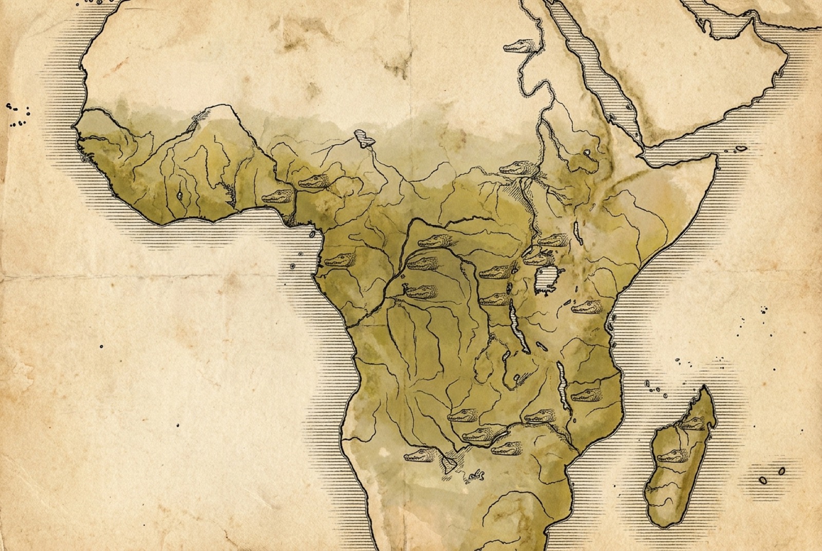
No one needs to memorise the geography that follows. Its purpose is simpler than that: to give you a feel for the shape of the danger across the continent, so that the abstract warning (assume crocodiles in still water) acquires the texture of real places. Danger is not evenly spread. It clumps. It concentrates wherever three things meet: large and permanent water, healthy crocodile populations, and dense human communities that must use that water every day without a safer alternative. Where those three overlap, the toll is highest, and across sub-Saharan Africa they overlap along a great many rivers and lakes. What follows is a tour of the worst of them, meant to orient you rather than to frighten you.
The Nile, and the deserts beyond
The river that gave the species its name runs for thousands of kilometres, and along its middle reaches, through Sudan and up into the Ethiopian highlands where the Blue Nile rises, it has been crocodile country since the age of the pharaohs. Still is. In the far north, in Egypt, the great dams have broken the river into managed pools and pushed the wild crocodile largely above the Aswan barrier into Lake Nasser, so that the lower Nile of the cities is no longer the crocodile river it once was. But this is the exception that proves how much the danger tracks human engineering: where the water has been controlled and separated from daily life, the conflict falls away; where people still meet the wild river at its edge, the animal is waiting as it always has.
Free preview
Own the whole book — $4.99
You’re reading the free preview of Croc & Gator Wise: The American Edition. 12 more sections are in this chapter — unlock the full field guide to keep reading.
- The complete master — both the American and Australian editions
- Reads on any device · adds to your home screen like an app
- One-time purchase · lifetime access
A Citadel Culebra field safety guide · Vivarium Culebra LLC